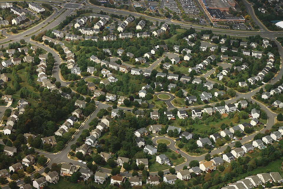
Ashburn Farm combines residential neighborhoods with nearly thirty miles of paved paths, five ponds and shared recreation areas in eastern Loudoun County. Pedestrian tunnels carry paths beneath two of its main parkways, making the trail network a distinctive part of the community. A restored windmill beside the community center recalls the dairy farm that preceded the houses.
Ashburn Farm occupies land once used by the Gray family as a dairy farm. A restored windmill from the estate stands beside the Windmill Community Center, retaining a visible link with the land’s earlier use.
Nearly thirty miles of paved paths connect maintained grounds and natural areas, with four pedestrian tunnels beneath Ashburn Farm and Claiborne parkways. Five association ponds provide stormwater storage and catch-and-release fishing. The separate W&OD regional trail adds a longer route through the wider Ashburn area.
Choosing a walking route
The community map helps with a neighborhood loop. NOVA Parks provides access information for a longer outing on the W&OD.
Measured neighborhood loops
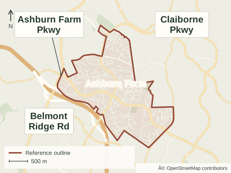
The association’s downloadable map has a color-coded key for measured routes, ranging from 0.67 to 2.75 miles. The distances assume that you begin and finish at the same location. Streets, paths, pedestrian tunnels and recreation areas are shown together.
Trail-user parking is available at the Ashburn Road crossing, opposite Partlow Brothers Store near mile marker 27.5. The regional W&OD map and current alerts help plan a longer walk or ride beyond the neighborhood paths.
A large Ohio buckeye grows beside the restored Gray estate windmill near the community center, placing a distinctive tree alongside the neighborhood’s historic landmark.
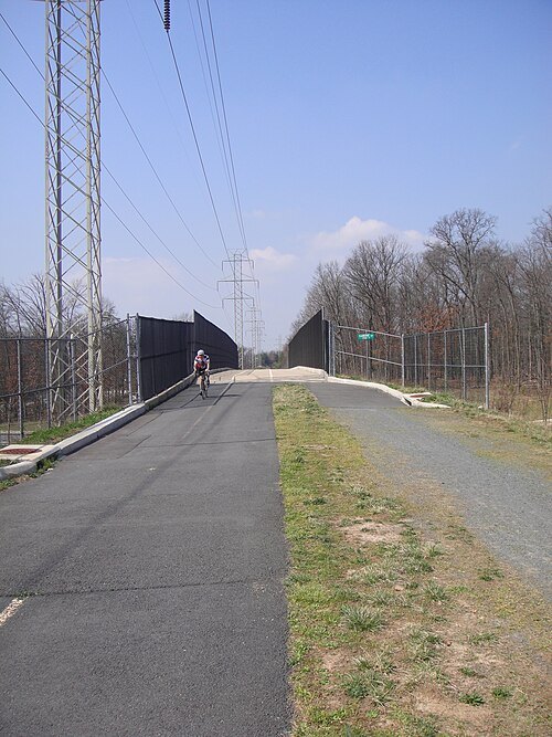
The W&OD Trail bridge over Claiborne Parkway in the surrounding Ashburn area.Photo: Jpgola · CC BY-SA 3.0 · Resized and JPEG-optimized for display; no content changes.
Residential communities
Residential streets sit alongside condominium and apartment communities within the wider Ashburn Farm setting. Paths, ponds and recreation areas connect different parts of the neighborhood. The community map identifies those housing areas and shared spaces, while individual property documents establish ownership and maintenance responsibilities.
Current listings in Ashburn Farm
Browse listings on Mike Andrew’s real estate website. You can change the map area, price, bedrooms and other search filters there.